Kunlun Mountains extend from Pamirs in
the west to the northwest of Szechuan province, passing through Qinghai province
and traversing between Xinjiang and Tibet. Over 2,500 km long, they crouch like
a huge dragon in the west of China, and hence the name "Spine of Asia".
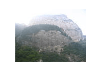
Kunlun Mountains comprise East Kunlun Mountains, Middle Kunlun Mountains and West
Kunlun Mountains. The southern, middle and northern branch ranges of East Kunlun
Mountains spread like the claw of a bird. Bayakala Mountain, belonging to the southern
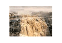
branch, is the watershed of Yangtze River and Yellow River.
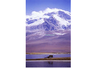
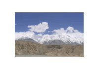
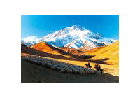
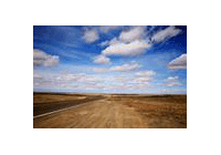
Most of the peaks in the Kunlun range are over 5,000 m high, and some of them exceed
7,000 m. Every summer, the snow on the top of the mountains begins to melt, forming
streams that moisen the dry land in the Northwest China and supplement the sources
of Yangtze River and Yellow River.
Reference data
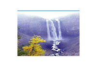
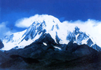
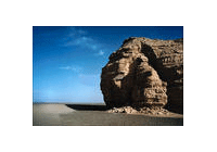
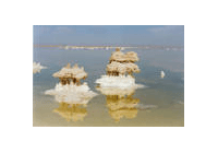
Kunlun Mountains are characterized by freezing weather. There are rolling ice-capped
peaks and the largest number of glaciers in China. Muztag Ata Mountain is reputed
to be "the father of glaciers". Numerous glaciers are entrenched in valleys like
jade dragons. Seracs, icy waterfalls and ice cracks can be found everywhere. A lot
of glaciers and the accumulated snow become the sources of many rivers.
Previous Next